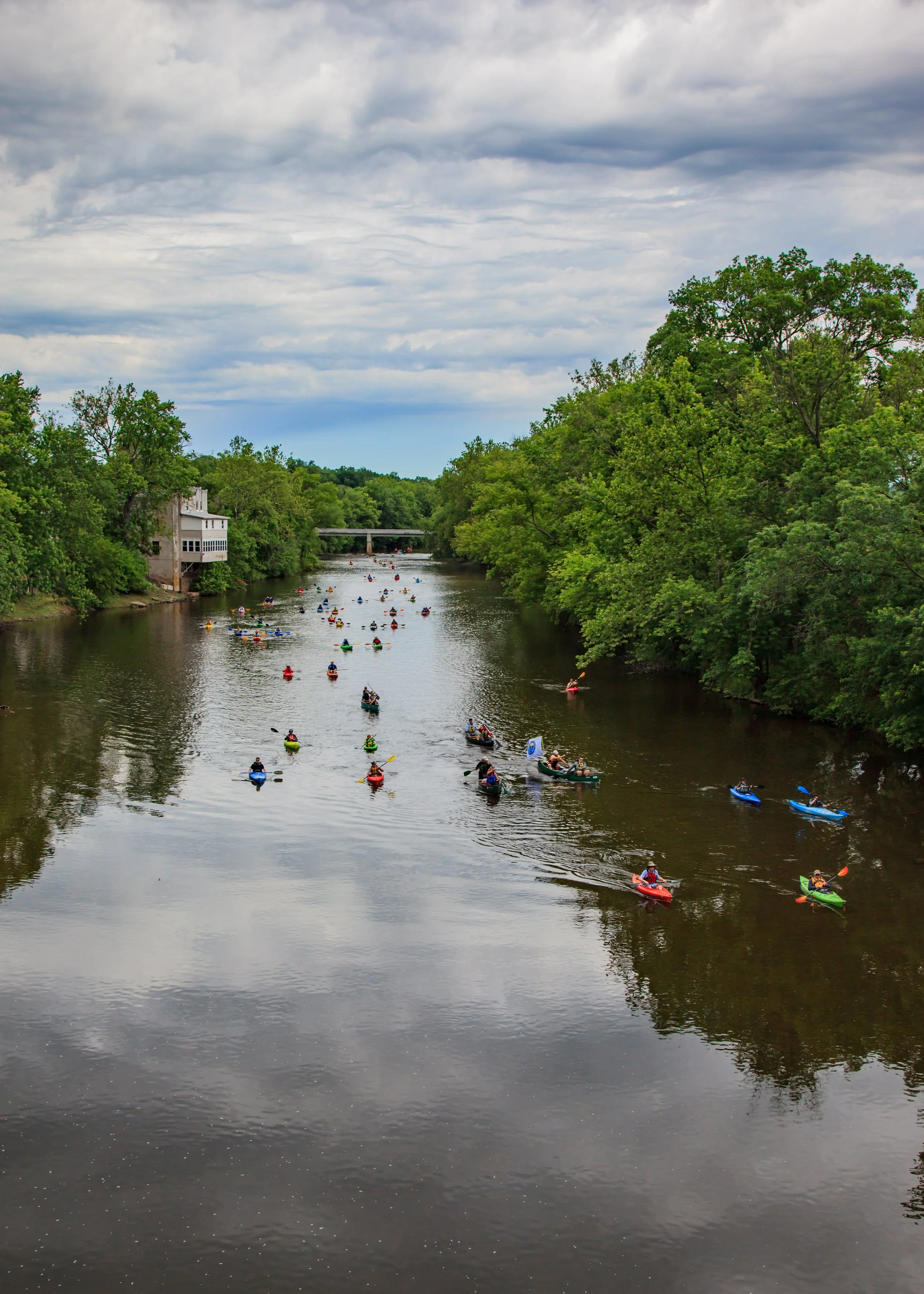
Welcome to the Perkiomen Creek Water Trail
Now a PA State Water Trail!
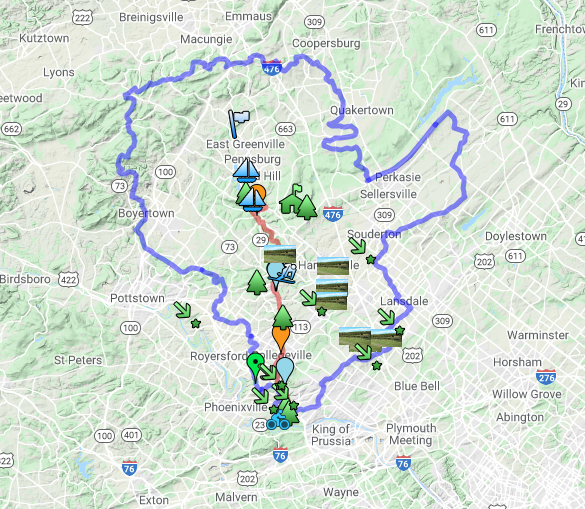
The Perkiomen Creek Offers 18 miles of navigable waters from south of Green Lane to its confluence with the Schuylkill River near Oaks. Along the water trail corridor, there are numerous public parks and preserved lands. The Perkiomen Trail, a 20-mile, multi-use trail, parallels the creek on a former railroad bed and provides a framework for access to the creek. Though largely a free-flowing stream from Green Lane to the Schuylkill, there are a few small dams and old mill dam remnants scattered throughout its length. Both the water trail and its land-base counterpart offer spectacular opportunities to enjoy the wilds of the Perkiomen Valley.
Video Guides to the Perkiomen
Schwenksville to Collegeville
Green Lane to Schwenksville
Collegeville to Oaks
Paddling Tips and Resources

Check the weather forecast & flow rate for the creek.
Optimal flow rate for the Lower Perkiomen is 150 - 1000 cubic feet per second (cfs);
Optimal flow rate for the Upper Perkiomen 180 - 1000 cfs.
Click the USGS logo for water data at Graterford, PA. Scroll down the page to see the table that includes “Most Recent Instantaneous Vale [Date]” (see example below).

Sample Data Only. Please follow the link to view current data for Graterford, PA.
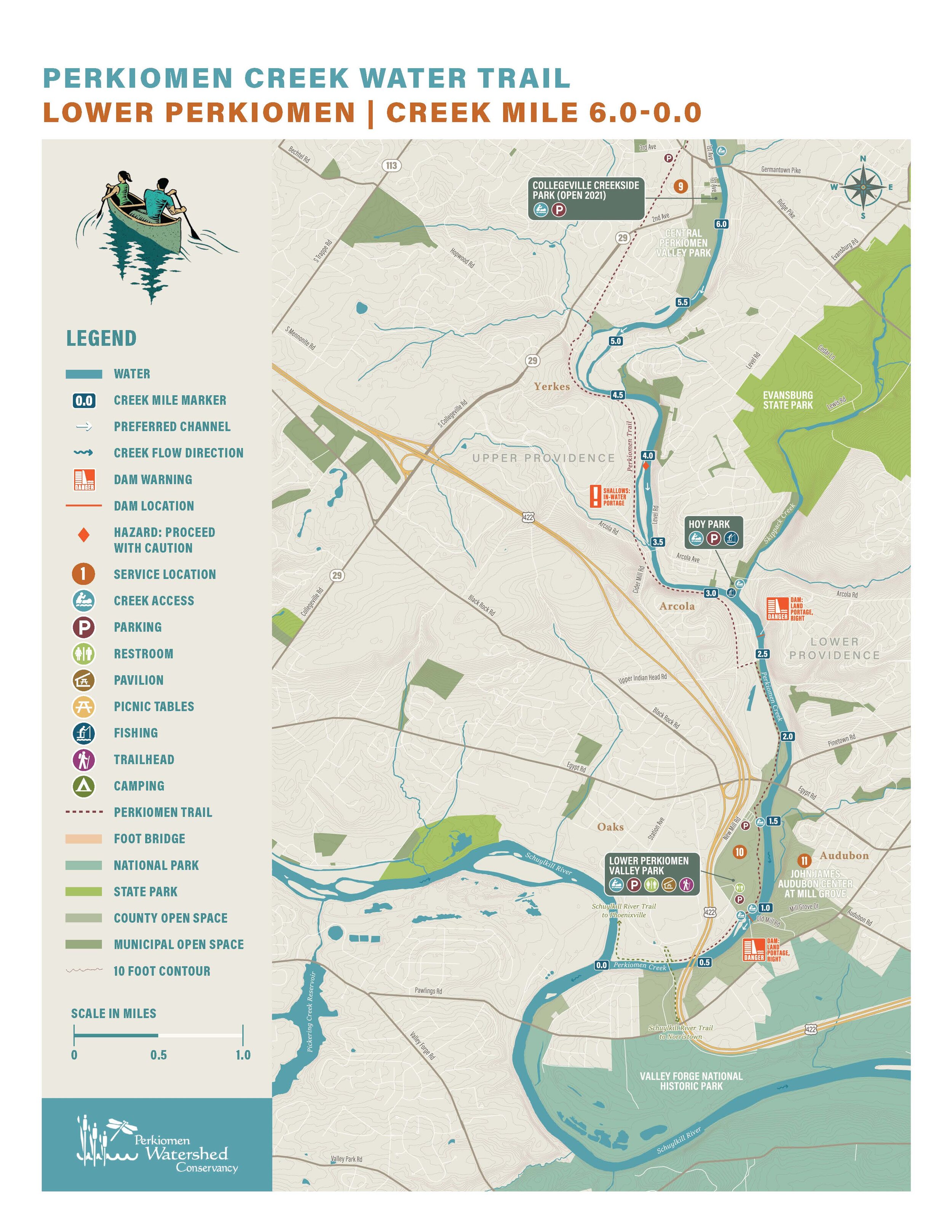
The Water Trail Map is Now Available!

The Perkiomen Creek Water Trail Map & Paddler’s Guide provides expert tips for paddling, plus information on creek access, hazards and services along the way. The guide begins just south of Green Lane Park, through Schwenksville and Lower Perkiomen Park, ending at the confluence of the Perkiomen Creek and the Schuykill River.
The map is 20” x 30” and printed on waterproof paper.
This is an invaluable resource for exploring the Creek!
Two ways to get the map:
Become a Member! Support the Conservancy and receive a free copy of the Paddler’s Guide.
Order the Guide here:
View the Water Trail Map
Click an image to view